
6/11/15: 83 miles, Cumberland, Md., to Ohiopyle, Pa.
After last night, I learned my lesson in not settling for what appears to be an ideal campsite. At first glance, Evitts Creek campground, at mile 180.1 of the C&O Canal, is an attractive spot. Freshly cut grass, no garbage, ample tree cover, a wood-stocked fire pit (yes!), and no one else around? And a flat tent spot? Only five miles from breakfast?
That was all well and good until the active CSX rail yard about 300 yards away came to life. I knew there were trains nearby since freight and Amtrak follow the graded terrain along the Potomac, but after I climbed into my tent train after train after train came through. Then they’d stop, followed by a loud, rippling tensioning of connections that spread down the line, domino-like, as each car got ready to move. Then they would, to be replaced by another train moments later.
I slept about an hour all night because of the locomotive cacophony. At some point, I Googled it on my phone. Turns out, I camped across the from Cumberland Terminal Subdivision. A big factory of loud. Pro tip: If you’re riding the C&O through Cumberland, don’t camp at Evitts Creek. If you do, wear earplugs (which I generally don’t do for safety reasons).
Groggy, I headed five miles back to Cumberland for breakfast. I hit up Cafe Mark, a coffee and breakfast joint, for an omelet and large Americano to ward off the headache from lack of sleep.
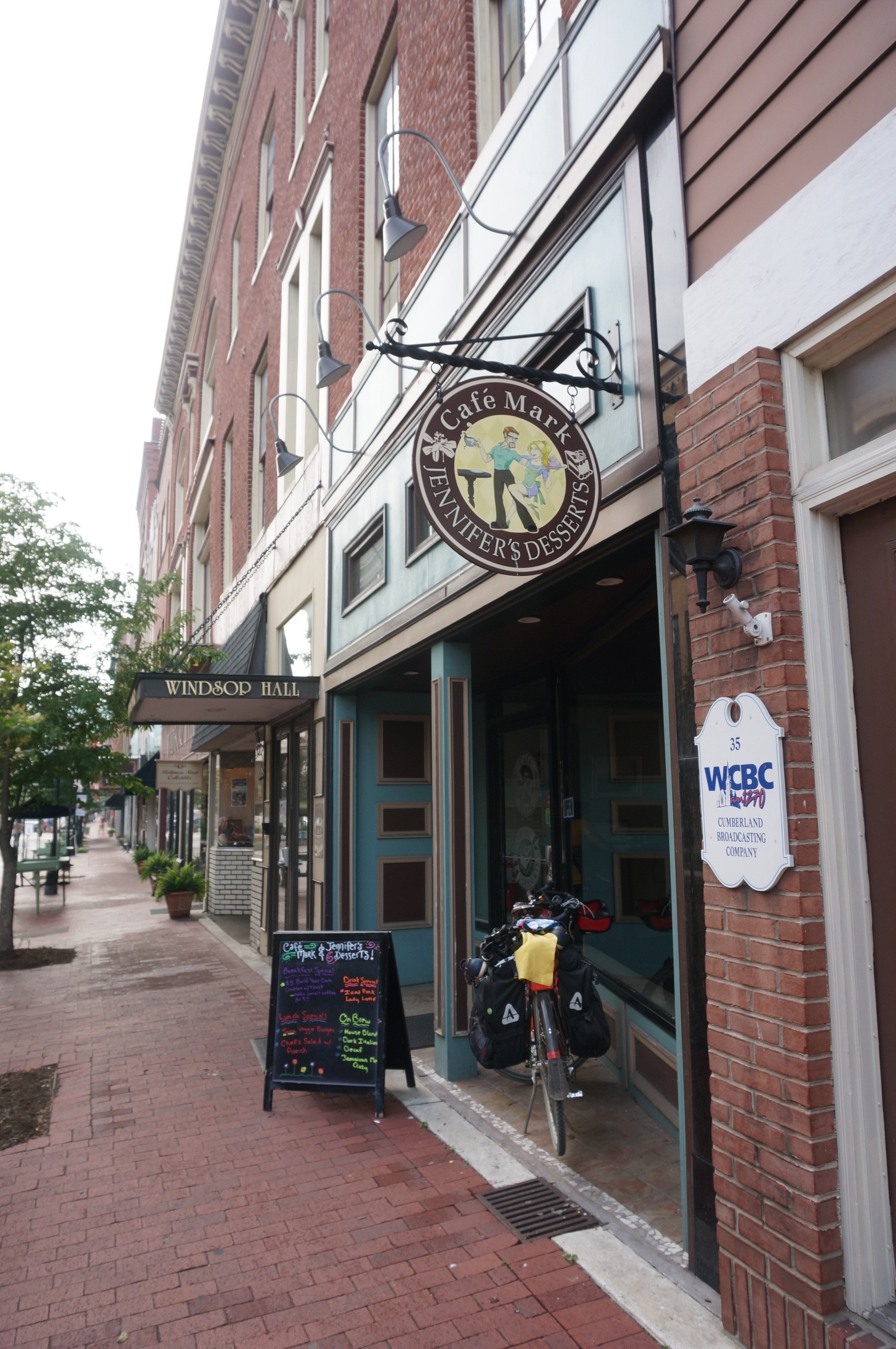
As I left, I met a guy named John on an old Trek 520 touring bike who looked about my age. He asked if this place was good. I told him it was. After chatting about our trips (we were both headed for DC) I rode along for the 30 mile climb up out of Maryland into Pennsylvania. It’s a slog up a rail-graded path. The temperature got hotter with each pedal stroke. I stopped in Frostburg, Md., for a Gatorade and snack about two-thirds the way up the climb, before finishing the eight miles to the divide. Once you get over the divide, it’s a sweet gradual descent 140 miles to Pittsburgh.
The climb over Big Savage Mountain took three hours or so, and took me through a couple more tunnels. The downhill payoff was worth it.


A few miles later, I crossed the divide. John, the guy I’d met in Cumberland earlier, caught up at the divide, so we took some pics and rode along into Pennsylvania together. Said he’s from Alexandria, Va., was a teacher in his mid 30s, and was riding to his girlfriend’s folks’ place in Pittsburgh, where he was going to catch a ride back to DC. He was a strong wheel, so we rolled downhill to Ohiopyle, Pa., an outdoors getaway town in the middle of Ohiopyle State Park, known for its hiking, rafting, backpacking and impressive views of the Youghiogheny River. Along the way, we ate sandwiches in Meyersdale and an entire BBQ chicken pizza in Confluence.
In Ohiopyle, we picked up a six pack to split over campfire at Kentuck Campground, part of the state park. Pro tip: If you’re trying to get to Kentuck from the GAP trail, you have to hike your bike up a very steep 1/4-mile long trail that takes you up to the backside of the campground. I tried climbing in my lowest gear, but alas, John and I ended up dismounting and pushing our rigs up the hill. From there, we rode (uphill) to the front of the campground where the main entrance and office are. By the time we got there, we were shredded. It’s not impossible, but you earn your campsite at Kentuck. That said, it was a quiet, shady, bug-free place with lots of firewood in the brush. And it was only $10 for each John and I. Setting up camp, I realized I lost my headlamp when I dismounted on the climb to camp, because it was poorly bungeed to my rear pannier. The headband had been wet and I strapped it to dry out. So spent all night with my backup bike headlight in my hand.
We made short work of a 6-pack before calling it a night.
Map of Kentuck: Where it says “To Bike Trail” below campsites 85 and 86 is where we came in. It’s a steep hike. The more you know.

Leave a Reply
You must be logged in to post a comment.